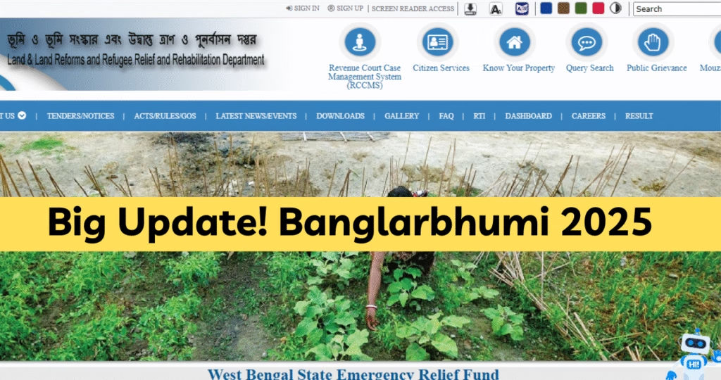
1. Introduction to Banglarbhumi
Land administration in India has traditionally been encumbered by outdated paper records, lack of accessibility, and complex bureaucratic processes. To modernize this sector, the Government of West Bengal launched Banglarbhumi—a digital geospatial land information portal that provides public access to land records, maps, mutation status, and related services.
Banglarbhumi consolidates multiple land-related services into one user-friendly online interface. It empowers citizens to access land records anytime, anywhere, eliminating the need for physical visits and reducing the possibility of errors or delays in official matters.
Target audience:

- Landowners
- Legal professionals and surveyors
- Real estate professionals
- Researchers and students
- Government officials
2. Why Banglarbhumi Matters
Understanding the significance of Banglarbhumi involves exploring the challenges it addresses:
A. Enhancing Transparency
Before Banglarbhumi, accessing land records required physical visits to sub-divisional offices or rural tehsils. This often led to discrepancies and sometimes even corruption. Banglarbhumi introduces transparency by making records publicly accessible online.
B. Reducing Fraud
Digital documentation decreases the chance of tampering with records. Because Banglarbhumi records are traceable, any unauthorized changes in ownership or mutation are easier to detect.
 Is Indian Judiciary System Still Confusing in 2025? Read This. →
C. Easing Business Transactions
Bengal’s booming real estate market and rising ease-of-doing-business demands accurate, fast access to land records. With Banglarbhumi, real time information on titles, plots, and mutation status aids in negotiations, due diligence, and transactions.
D. Empowering Citizen Access
Digital inclusivity is essential for rural and remote users. Banglarbhumi enables stakeholders—especially farmers, land renters, and small landholders—to access official records without office visits.
E. Enhancing Administrative Efficiency
By digitizing—and integrating land information systems—government offices reduce duplicates, automate reconciliations, and enable smooth e-office workflows across departments.
 Online Gaming Bill 2025: Is This the Death of Rummy? →
3. Portal Overview & Key Features
Banglarbhumi’s public section is well-structured and user-friendly. Here’s a breakdown of its core features:
| Feature | Description |
|---|---|
| Search Khatian / Plot Info | View land ownership details using survey numbers or beneficiary information |
| Search RS-LR | Access Record Section (RS) and Land Records (LR) extensions for plots |
| Mutation Application | File for changes in land ownership due to inheritance, sale, etc. |
| Mouza Map Request | Request geospatial maps for a village or administrative boundary |
| Certified RoR Request | Apply for certified Record of Rights documents in PDF or printed format |
| Land Conversion | Request changes in land use from agricultural to commercial/residential |
User interface:
- The homepage features clear menu options and search forms.
- Each feature contains step-by-step guidance on filling and submitting requests.
4. How to Use Banglarbhumi – Step‑by‑Step Guides
4.1 Registration & Login
Before accessing advanced services, users must register and log in.
Steps:
- Visit the portal and click “New User? Register Here.”
- Provide mobile number, email, and a valid password. Authentication via OTP is required.
- Log in through the “Login” portal with your credentials.
Tips:
- Use an email you control for receiving notifications.
- Choose strong passwords and update them periodically.
4.2 Searching Khatian & Plot Details
One of Banglarbhumi’s most-used features is retrieving ownership information.
Steps:
- Log in to the portal.
- Navigate to Khatian/Plot Information.
- Choose between “Through Khatian Number” or “Through Plot Number”.
- Enter district, block/panchayat, and corresponding number.
- Submit to view landowner names, plot area, and other attributes.
Use Cases:
- Verify ownership before land purchase.
- Check boundaries or adjoining properties.
4.3 Mutation Application
Mutation updates rural land records to reflect legal ownership changes.
Steps:
- Navigate to Mutation → Apply Online.
- Choose mutation type (sale, inheritance, partition).
- Upload relevant docs (Sale Deed, No Objection Certificate).
- Pay fee through the integrated payment gateway.
- Receive an application number to track your request.
Tip: Use notification alerts so you can respond promptly if additional documentation is required.
4.4 Requesting Mouza Maps
Mouza maps provide spatial layouts of villages and administrative zones.
Steps:
- Go to Mouza Map → Request Map.
- Select your district and mouza.
- Choose your desired map format (PDF/download or printed copy).
- Pay applicable fees.
- Download the PDF or receive a pickup notice.
4.5 Applying for Certified Copies of Record of Rights (RoR)
Certified RoR documents are needed for legal, financial, and jurisdictional purposes.
Steps:
- Select Certified RoR in the service list.
- Provide district, mouza, and plot or khatian numbers.
- Choose delivery format and pay the fee.
- Submit the request and get a tracking reference.
- Download approved RoR from RoR Status in your dashboard.
4.6 Land Conversion and Additional Services
Banglarbhumi supports land conversion services (agricultural → residential/commercial).
Steps:
- Go to Land Conversion / Waiwali Application.
- Select relevant District, Mouza, and Plot/Khatian.
- Upload documentation (approval letters, NOC, survey maps).
- Pay via the portal and await approval.
Other services include:
- Check pending mutation status
- Village/Gram map reviews
- Payment receipts and notifications
- Integration with payment wallets/ UPI
5. Benefits of Using Banglarbhumi
- Time-saving Efficiency – Access essential documents, maps, and approvals online—no need for long lines at sub-divisional offices.
- Transparency & Traceability – Track your applications in real time and avoid manual error.
- Cost-effectiveness – Lower fees plus no travel/printing expenses.
- User Empowerment – Rural, remote, or tech-challenged users can securely manage land information.
- Environmental Sustainability – Reduces paperwork, printing, and carbon footprint.
6. Common Issues & How to Troubleshoot
Despite being a robust portal, certain recurring user issues pop up:
| Problem | Troubleshooting Tip |
|---|---|
| OTP not received | Confirm correct mobile, ensure telecom signal, try resending instead of refreshing page. |
| Document upload failure | Check file size (<2MB), format (PDF/JPG), or rename filenames to remove special characters. |
| Wrong plot/khatian search | Check proper district and mouza names, verify numbers on official documentation or land papers. |
| Payment processing stuck | Use a compatible browser (Chrome, Firefox), clear cache, and retry after 10–15 min. |
| Mutation approval delays | Use the portal’s tracking to see missing documents and escalate via local Revenue Circle Office. |
| RoR or map PDF not downloading | Enable pop-ups/download; switch to desktop or file manager if using mobile. |
7. Tips for Maximizing Utility of Banglarbhumi
- Prepare documents in advance – Keep digital copies of Deeds, ID proofs, NOCs, etc.
- Download and save records – Keep PDF backups locally for any future reference.
- Track applications – Regularly log into your dashboard and note deadlines.
- Bookmark relevant portals – Add Banglarbhumi PDF RoR, Mutation Status, and Maps links to your browser.
- Use supported browsers – Chrome and Firefox are recommended for compatibility and functionality.
- Share with others – Encourage friends or family who are less tech-savvy to use the portal.
- Check for policy updates – Stay informed via the latest circulars from the Revenue Department.
- Provide feedback – Use the Contact Us form to report issues or suggest portal improvements.
8. Security & Privacy Measures
Banglarbhumi takes several security steps to ensure user data remains confidential:
- HTTPS encryption: Secure data transmission via SSL/TLS.
- OTP-based authentication: Prevents unauthorized access to your account.
- Secure file uploads: Scanning and validation of documents to avoid malware or unauthorized filing.
- Privacy policy: Clearly describes the limited use of collected personal data and omits sharing with third parties.
- Audit trails: All actions (searches, payment, document download) are timestamped and logged.
Your role:
- Use secure Wi‑Fi and device
- Log out after sessions
- Update passwords regularly
- Check account activity periodically
9. Frequently Asked Questions (FAQs)
Q1: Is Banglarbhumi the official government portal?
No—it’s part of NIC’s public infrastructure, but managed by the West Bengal Revenue Department under NIC guidelines. For policy directives and new features, refer to official channels.
Q2: Can mutation be done online entirely?
Yes: you can submit mutation applications, upload documents, and receive updates online. However, physical verification may be required for completion.
Q3: Why can’t I find my plot by Khatian?
Confirm all details (district, block, mouza, number). If the portal flags it as unavailable, the plot may be pending digitization—contact your local tehsil.
Q4: How long is RoR certificate valid?
Typically 3-6 months. For legal or financial use, check requirements with relevant institutions.
Q5: Are mobile apps available?
Not yet—Banglarbhumi is web-only. Consider using Android/iOS browsers. Expect mobile apps in future roadmap.
Q6: Can I pay mutation fees via UPI or Wallets?
Yes, payment options include debit/credit cards, net banking, UPI, and selected mobile wallets.
10. Recent Updates & Future Roadmap
- Interface/UI Refresh (2024) – updated forms, simpler workflows, and faster load times.
- API Integration – new interfaces connecting with agriculture and forest department systems for cross-verification.
- Geospatial Upgrades – high-resolution maps with layer toggles (administrative, survey, satellite).
- PDF Emphasis – downloadable PDF versions of maps, records, and receipts introduced.
- Upcoming Calypso Change (late 2025) – integration with e-Land and e-Lekhi modules to enable digital signing and submission.
Future possibilities:
- Automatic title check integration with lending and registrarial systems
- Municipal-level data unification with urban authorities
- Mobile (Android/iOS) app for offline data capture
- QR-based record verification for on-site authenticity
- Blockchain-backed immutable traceability of land transactions
11. Conclusion
Since its inception, Banglarbhumi has revolutionized land record management in West Bengal. By digitizing title deeds, mutation processes, maps, and Record of Rights documentation, it empowers citizens and administrators with faster, more secure, and transparent access.
As technology evolves, Banglarbhumi is poised to become even more robust—with mobile apps, richer maps, and inter-departmental integrations. By following best practices and staying engaged, users can fully leverage its potential.
Disclaimer: This blog is for informational purposes only. For official guidance, always consult the West Bengal Revenue Department or other authorized agencies.
Also Read: The Rs 5 Coin Mystery: Why It’s a Hot Item in Bangladesh!